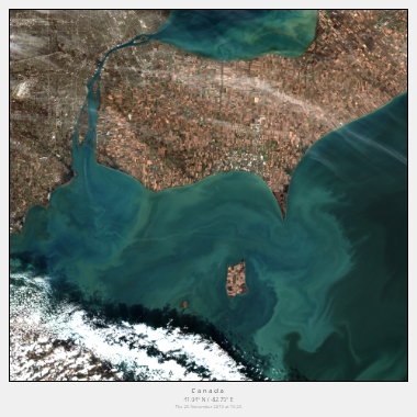
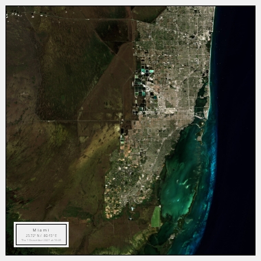
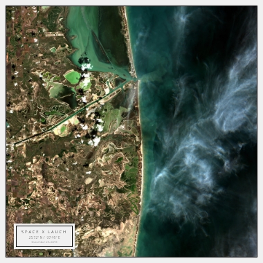
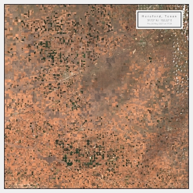
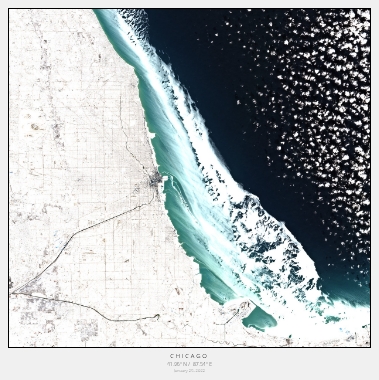
North America
From Coast to Coast: Experience North America's Diverse Landscapes
North America is a vast continent that is home to a wide range of landscapes, from the rugged mountains of the West to the sandy beaches of the East. With satellite imagery, you can experience the diverse natural beauty of this region like never before.
One of the most popular natural landmarks in North America is the Grand Canyon. This massive geological wonder in Arizona is over 277 miles long and up to 18 miles wide. With satellite imagery, you can see the intricate patterns and layers of rock that make up the canyon walls, as well as the winding Colorado River that runs through it.
Another natural wonder in North America that is worth exploring through satellite imagery is Yellowstone National Park. This park, which spans across three states, is known for its geothermal features, including geysers, hot springs, and mud pots. With satellite imagery, you can see the colourful pools and the steam rising from the geysers, providing a unique and fascinating perspective.
Discover the Urban Landscapes of North America from Above
North America is also home to some of the most vibrant and diverse cities in the world. With satellite imagery, you can explore these cities from a unique perspective and discover their unique architecture and landmarks.
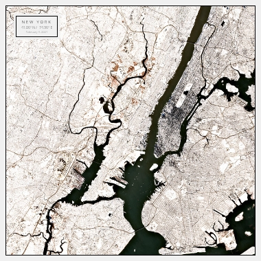
One of the most iconic cities in North America is New York City. The city's skyline is instantly recognisable, with landmarks such as the Empire State Building, One World Trade Center, and the Statue of Liberty. With satellite imagery, you can see the impressive scale of the city's skyscrapers, as well as the intricate patterns of the streets and neighbourhoods.
Another city in North America that is worth exploring through satellite imagery is Vancouver, Canada. This coastal city is surrounded by mountains and water, and is known for its modern architecture and stunning natural beauty. With satellite imagery, you can see the city's unique layout, as well as the surrounding mountains and waterways.
Explore North America's Cultural Heritage from Above
North America is home to a rich cultural heritage, with indigenous peoples, colonial history, and diverse immigrant populations. With satellite imagery, you can explore the region's historic sites and landmarks from above, and gain a new perspective on their significance.
One of the most significant cultural landmarks in North America is Chichen Itza in Mexico. This ancient Mayan city is home to impressive pyramids and temples, including the iconic El Castillo pyramid. With satellite imagery, you can see the impressive scale and intricate details of the structures, as well as the surrounding jungle landscape.
Another cultural landmark in North America that is worth exploring through satellite imagery is the Alamo in San Antonio, Texas. This historic site is where a pivotal battle was fought during the Texas Revolution, and is now a symbol of Texan independence. With satellite imagery, you can see the historic buildings and grounds, as well as the surrounding urban landscape.
Overall, North America's diverse natural landscapes, vibrant cities, and rich cultural heritage offer endless opportunities for exploration and discovery through satellite imagery.
