Spain
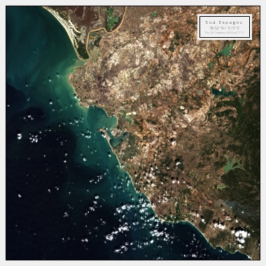
Spain is a country located in southwestern Europe that is known for its vibrant culture, delicious food, and stunning landscapes. From the beaches of the Costa del Sol to the mountains of the Pyrenees, Spain has a diverse range of landscapes that can be captured from above with satellite images.
Discover Spain's Iconic Landmarks with Satellite Images
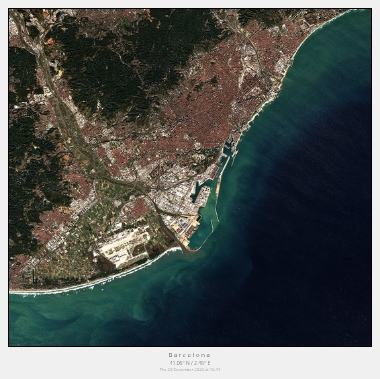
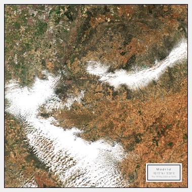
Spain is home to some of the most iconic landmarks in the world, including the Sagrada Familia in Barcelona, the Alhambra in Granada, and the Plaza Mayor in Madrid. These landmarks can be captured in stunning detail with satellite images, allowing you to see the intricate details of their architecture and the surrounding neighbourhoods.
In addition to its iconic landmarks, Spain is also known for its beautiful countryside. From the rolling hills of Andalusia to the rugged mountains of Galicia, there is no shortage of natural beauty to be captured. Satellite images can provide a unique perspective on the landscape, allowing you to see the vivid colours and intricate details of the terrain.
Experience Spain's Beaches and Islands from Above
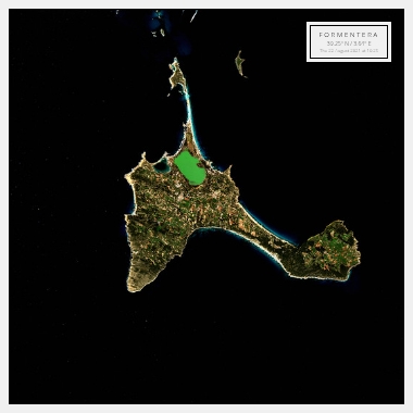
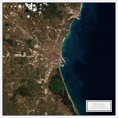
Spain has a long coastline that is home to some of the most beautiful beaches in the world. From the lively beaches of the Costa Brava to the secluded coves of the Balearic Islands, there is something for everyone. Satellite images can capture the crystal-clear waters, golden sands, and stunning cliffs of these beaches, providing a unique perspective on their natural beauty.
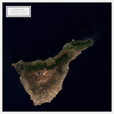
In addition to its beaches, Spain is also home to several beautiful islands. From the volcanic landscapes of Tenerife to the rugged coastline of Mallorca, these islands offer a unique perspective on Spain's natural beauty. Satellite images can capture the stunning colours and intricate details of these islands, providing a glimpse into their unique ecosystems.
