Italy
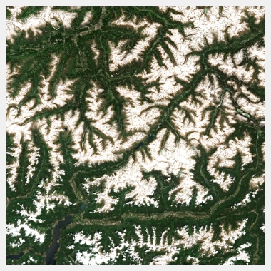
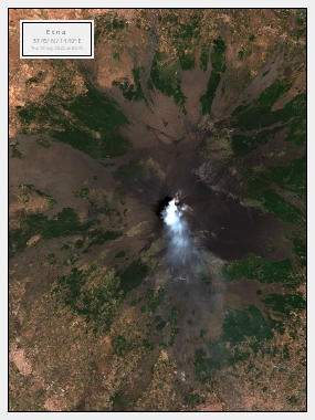
Italy is a country located in Southern Europe that has a rich history and culture. It is known for its beautiful architecture, delicious cuisine, and stunning landscapes. With its long coastline and mountainous regions, Italy has a diverse range of landscapes that can be captured from above with satellite images.
Capturing the Beauty of Italy with Satellite Images
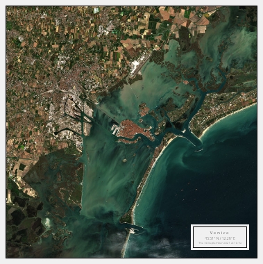
Italy is home to some of the most iconic landmarks in the world, including the Colosseum in Rome, the Leaning Tower of Pisa, and the canals of Venice. These landmarks can be captured in stunning detail with satellite images. From above, you can see the intricate details of the architecture and get a sense of the scale of these structures.
In addition to its iconic landmarks, Italy is also known for its beautiful countryside. With its rolling hills, vineyards, and olive groves, Tuscany is a popular destination for those seeking natural beauty. Satellite images can capture the stunning colours of the landscape in all their glory, from the vivid green of the trees to the golden hues of the sun-kissed hills.
Explore the Italian Coastline with Satellite Images
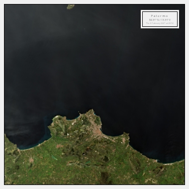
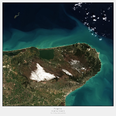
Italy has a long coastline that stretches for more than 7,600 kilometres. From the stunning Amalfi Coast to the beautiful beaches of Sardinia, there is no shortage of natural beauty to be captured. Satellite images can provide a unique perspective on the coastline, allowing you to see the intricate details of the beaches and the crystal-clear waters of the Mediterranean.
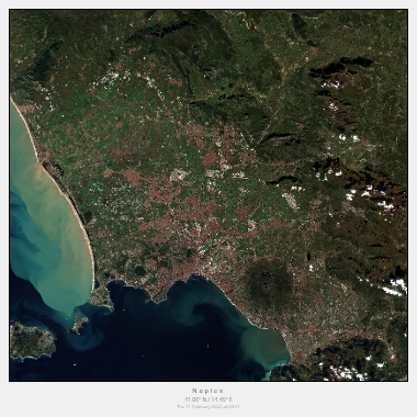
In addition to its natural beauty, the Italian coastline is also home to some of the country's most historic cities. From Naples to Genoa, these cities are a testament to Italy's rich history and culture. Satellite images can capture the unique architecture and layout of these cities, providing a bird's-eye view of their iconic landmarks and historic neighbourhoods.
