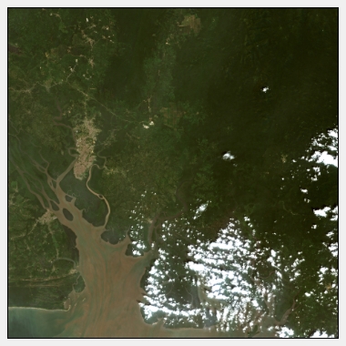
Africa
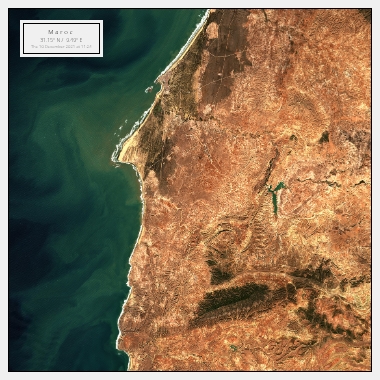
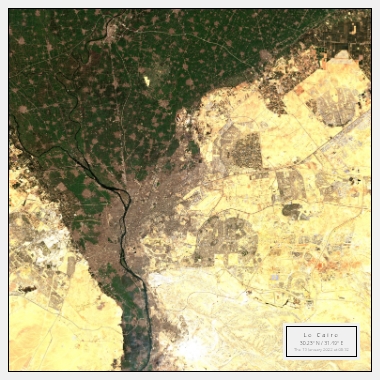
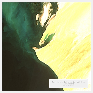
Explore the breathtaking continent of Africa through our extensive collection of satellite images.
Explore the breathtaking continent of Africa through our extensive collection of satellite images. From the vast Sahara desert to the lush rainforests of Congo, we offer an unparalleled glimpse into the diverse and beautiful landscapes of Africa.
Discover the wonders of Africa through satellite imagery
Our satellite images provide a unique perspective on the varied geography of Africa. From the snow-capped peaks of Kilimanjaro to the winding channels of the Okavango Delta, we offer a bird's-eye view of the continent's many wonders.
Explore the wildlife of Africa from above
Our satellite images also showcase the diverse wildlife of Africa. Spot herds of elephants in Tanzania, or take in the sweeping migration of wildebeest across the Serengeti. Our images offer a fascinating glimpse into the complex and interconnected ecosystems that make up Africa's wildlife.
Plan your African adventure with satellite imagery
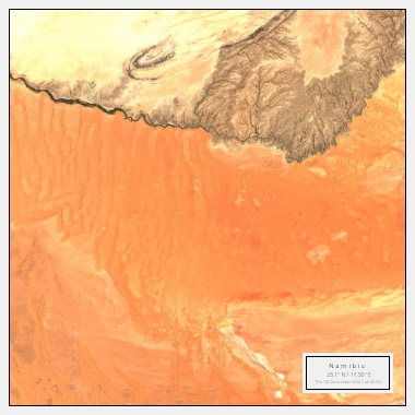
Whether you're planning a safari or researching the best beaches to visit, our satellite images can help you plan the perfect African adventure. Get a closer look at popular destinations like Cape Town or Victoria Falls, or explore off-the-beaten-track locations like the Sahara or the Namib desert.
