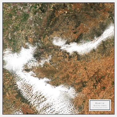
Europe
Discover the Beauty of Europe's Natural Landscapes
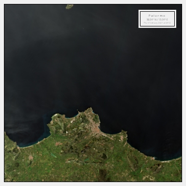
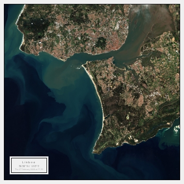
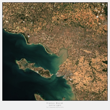
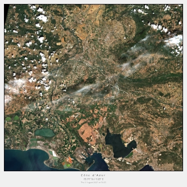
Europe is home to some of the most breathtaking natural landscapes in the world. From the rolling hills of Tuscany to the rugged coastlines of Scotland, there is something for everyone to enjoy. Thanks to satellite imagery, you can now experience these landscapes like never before.
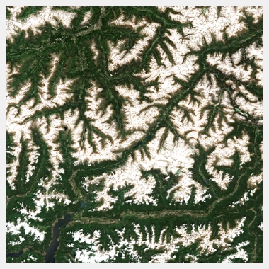
One of the most popular natural landmarks in Europe is the Alps. With their snow-capped peaks and scenic valleys, the Alps offer some of the best views in the region. From the satellite perspective, you can see how the mountains stretch across several countries, including France, Switzerland, and Italy. The satellite imagery also reveals the intricate patterns of rivers and lakes that flow through the valleys, creating a stunning visual effect.
Another natural wonder in Europe that is worth exploring through satellite imagery is the Northern Lights. This breathtaking light show occurs when solar particles collide with the Earth's atmosphere, creating colourful displays in the sky. The best places to witness the Northern Lights are in the northern regions of Norway, Sweden, Finland, and Iceland. With satellite imagery, you can see the patterns of the aurora borealis as they dance across the night sky.
Explore Europe's Iconic Landmarks from Above
Europe is also home to some of the most iconic landmarks in the world. From the Eiffel Tower in Paris to the Colosseum in Rome, these landmarks have become symbols of their respective countries. Thanks to satellite imagery, you can now explore these landmarks from a unique perspective.
One of the most iconic landmarks in Europe is the Leaning Tower of Pisa. Located in Italy, the tower is famous for its tilt, which was caused by an unstable foundation. With satellite imagery, you can see the tower's lean from above, which provides a unique and captivating view. You can also see the beautiful Piazza del Duomo, where the tower is located, and the surrounding historic buildings.
Another iconic landmark in Europe that is worth exploring through satellite imagery is Stonehenge in England. This prehistoric monument consists of a ring of standing stones, each weighing around 25 tons. With satellite imagery, you can see the circular arrangement of the stones and how they are aligned with the rising and setting sun.
Immerse Yourself in Europe's Rich Culture through Satellite Imagery
Europe is known for its rich cultural heritage, which is reflected in its art, architecture, and historic sites. With satellite imagery, you can now immerse yourself in this cultural richness and explore Europe's cities and towns from above.
One of the best examples of Europe's cultural heritage is the city of Venice in Italy. The city is known for its beautiful canals, historic buildings, and artistic heritage. With satellite imagery, you can see how the canals crisscross the city and how the buildings are connected by bridges. You can also see the famous St. Mark's Basilica, which is one of the most iconic landmarks in Venice.
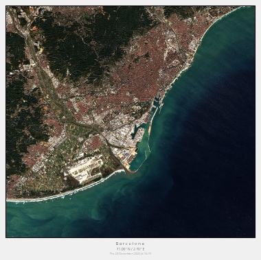
Another city in Europe that is worth exploring through satellite imagery is Barcelona in Spain. The city is known for its unique architecture, including the famous Park Güell, designed by the famous architect Antoni Gaudí. With satellite imagery, you can see how the colourful mosaics and organic shapes of the park stand out against the surrounding cityscape.
Overall, Europe's natural landscapes, iconic landmarks, and cultural heritage offer endless opportunities for exploration and discovery through satellite imagery.
